 |
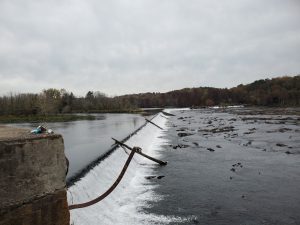
| Savannah Diversion Dam |
I’ve done this trail that runs between the river and the canal several times with Peggy.
To see a map of the canal and nearby trails: Download a map of Augusta’s Trails
For the first 5 miles the trail is dirt and runs between the river and the canal. It may be muddy & have deep puddles after a rain.
Then the other paved trails split off, I took the 3.5 mi River Level Trail which goes to downtown Augusta and has views of the beautiful homes across the river. I did a 16 mi round trip and was on the road to FL by 11AM.
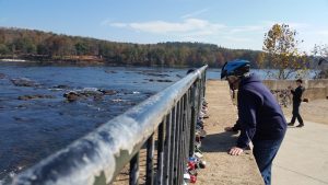 |
| Peggy’s Love Lock |
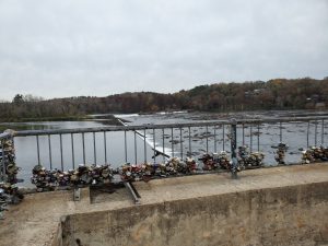 |
| Here is today’s view |
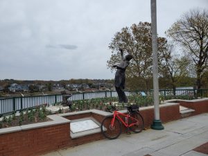 |
| View of the homes across the river |
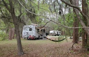 |
| Site 6 |
So Thursday will finally be a rest day for me, it’s cloudy with a chance of rain but temps in the low 70’s. Finally I’ll be able to grill myself some Salmon & Zucchini.
That site is so nice! Did mom put a lock on there in the past?
Love the pics!! Glad your having fun.
Love ya, Meg
Looks like a mini Niagara falls haha! Awesome pictures, hope you have the best time!
Love and miss you,
Jake
Travel Safe